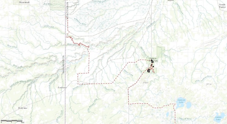
 You can’t start hiking the North Country Trail at the border of Minnesota and Wisconsin without first hiking in from one direction or the other. If you want to go southeast through Wisconsin, for example, you need to start on Wild Valley Road in Minnesota and hike in for 3.2 miles.
I don’t know how far into Wisconsin you’ll get if you try that. As of the date of this post, the interactive map on northcountrytrail.org is unclear. It’s hard to tell if the trail ends cold in the woods, dumps out on a highway or carries on uninterrupted.
On the gorgeous Sunday afternoon of June 4, I tried to solve this mystery and failed. It was still a fun scouting mission, though, and that’s what I’ll share in this essay. Obviously I could call the trail association or maybe spend an hour scrolling through Facebook posts to obtain the knowledge I seek about the state of the trail, but I’d still want to see it for myself, so why bother with the hands-off research, right?
It has been thoroughly documented in a series of 14 essays on this very website that I slowly and somewhat methodically hiked all of Minnesota’s Superior Hiking Trail in sporadic spurts from 2000 to 2016. That journey started at the Canadian border and ended on the Wisconsin border. But the trail doesn’t stop at either of those points. The SHT is part of a much longer trail — the North Country National Scenic Trail — which extends to Lake Sakakawea State Park in North Dakota to the west and Crown Point in New York to the east.


