PDD Geoguessr Challenges #3 and #4: North Shore State Parks and Duluth Neighborhoods
If you missed the post introducing PDD Geoguessr Challenges, the concept and rules are summarized at the end of this post. That first post had links for two somewhat standard challenges. In this second post, the challenges get a little bit more complicated just to show the different ways Geoguessr games can work.
PDD Geoguessr Challenge #3: North Shore State Park Photospheres
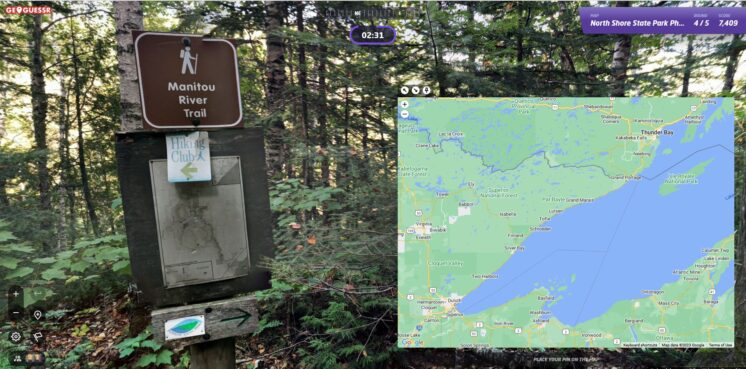
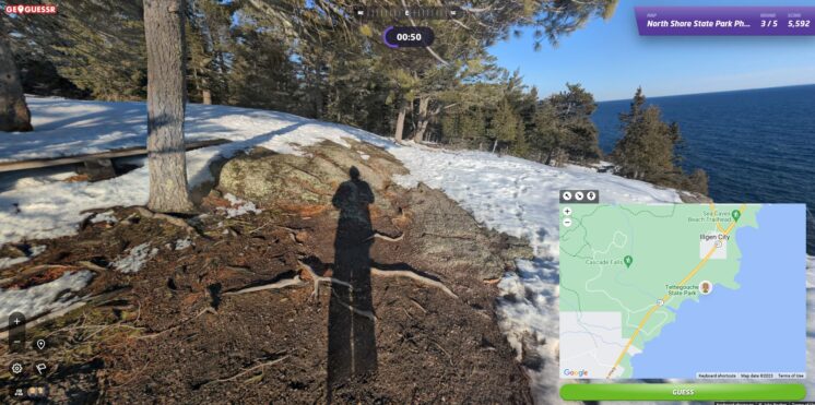
The third challenge in the series is based on photospheres, 360 degree images uploaded into Google maps. In this case, the Photospheres are from five of the seven state parks along the north shore of Lake Superior:
When guessing a photosphere location, you should keep two things in mind: first, you are trying to guess the center point of the photosphere, not the location of the landmark in the photosphere. So if you recognize a waterfall as seen from a look-out point, the marker should go on the look-out point and not the waterfall itself.
Second, photosphere locations are set by the people who uploaded them and they sometimes make mistakes. So while getting the approximate location will always result in getting most of the points, getting the exact location will not always give you the full points if the Photosphere is slightly misplaced. This can happen when, for example, the user places the Photosphere at the spot of the landmark in the background rather than the center point of the location where the Photosphere was made. If you are the sort of person who feels compelled to go to the last second of the round in order to get the location exactly right, be prepared for some occasional frustration with Photospheres when the game incorrectly tells you that you were just a little bit wrong.
In the case of the five photospheres in this challenge, everything seems to be mostly right. Because you can’t move and therefore just need time to find the location, each round has a time limit of three minutes.
PDD Geoguessr Challenges #3: North Shore State Park Photospheres
PDD Geoguessr Challenge #4: Duluth Neighborhoods No-Move Challenge
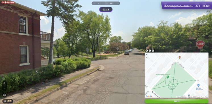
In most Geoguessr games, you can move around the area looking for clues. But Geoguessr also allows challenges to be made with certain restrictions. In this case, the rounds consist of standard Streetview imagery, but you cannot move from the starting point. You can, however, still pan around the image and zoom in and out. Each location is chosen to have at least a few clues for those that know the city well. As no moving is allowed and the idea here is a bit to go with your first gut feeling after looking around, the rounds here have a somewhat shorter time limit of two minutes per round.
PDD Geoguessr Challenge #4: Duluth Neighborhoods No-Move Challenge
How to Play Geoguessr
GeoGuessr can be played on a laptop or desktop and on Android or IoS mobile devices with the GeoGuessr app. Just click on the link that fits how you play and create an account to start playing.
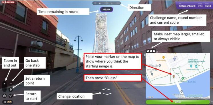
Every game consists of five locations based on a theme chosen by the game creator. You are shown a Streetview image stripped of all the informational labels that are normally overlayed onto the image. Unless the challenge specifically restricts it, you can move around and look for clues like street signs and business names to find out where you are. The image below shows a basic overview of the Geoguessr screen layout and controls.
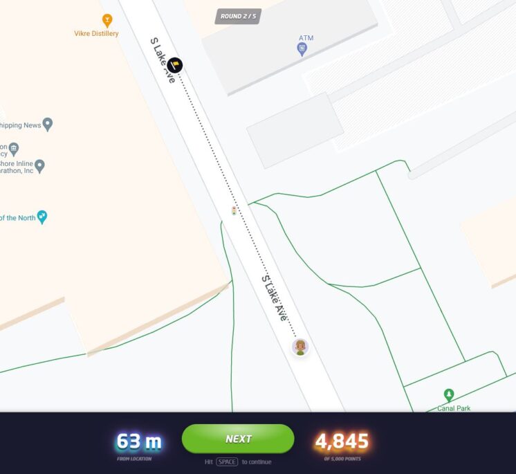
Once you think you know the location — or are nearly out of time — you use the inset map to place your marker where you believe the round started. After you hit “Guess,” you will see how close you were to the correct location and how many points your guess earned. The closer you are to the location, the higher your score, with a maximum score of 5,000 points. On a map that covers a small area, like the Gary-New Duluth neighborhood, being off by a few blocks will cost you a lot of points. On map that has locations from around the world, you will get nearly all the points just for finding the right city. The maximum error for a perfect score also changes by map size, but in general if you are within 50 feet (15 meters) you will always get the full 5,000 points.
Not often, but every now and then, GeoGuessr gets a little buggy. If the underlying Streetview imagery has changed since the game was made, sometimes it repeats the last round, gives a black screen, or doesn’t allow a guess to be made. If that happens, please let me know and I’ll update the challenge.
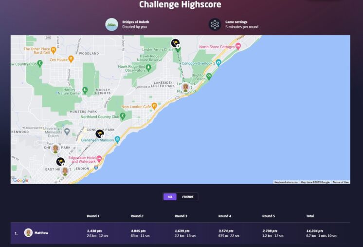
At the end of the five rounds, an overview screen shows your score for each round in addition to your guessing time and how far off you were from the correct location. The correct locations and your guesses are also shown on a map and you can click on any of the round numbers to review the locations. Additionally, the final screen in a challenge will show how you rank compared to the top scorers of the challenge. When choosing your user name, keep in mind that your user name and score per round will be visible to other players of the challenge.
If you have feedback on the existing challenges or ideas for future challenges, please share them in the comments below.
Recommended Links:
Leave a Comment
Only registered members can post a comment , Login / Register Here





No Comments