History Mystery: Point of Rocks

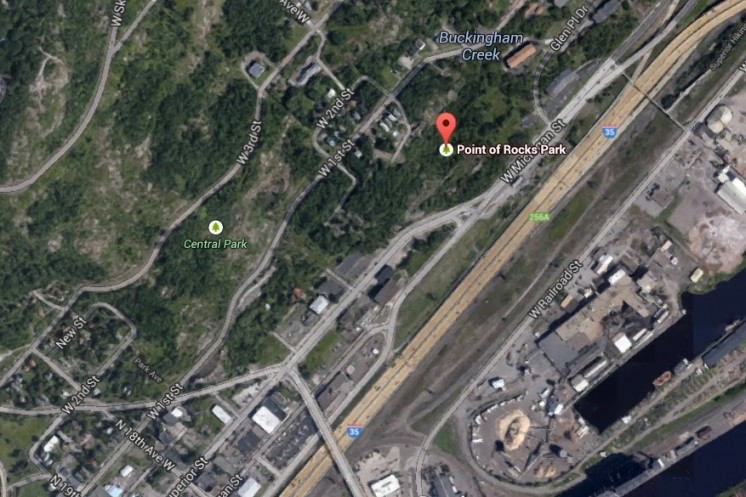
Google Map of Point of Rocks
Google Maps

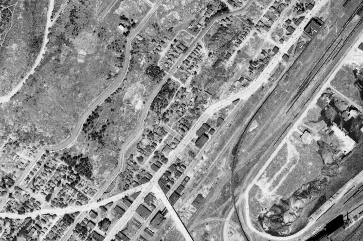
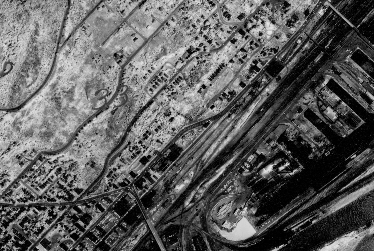
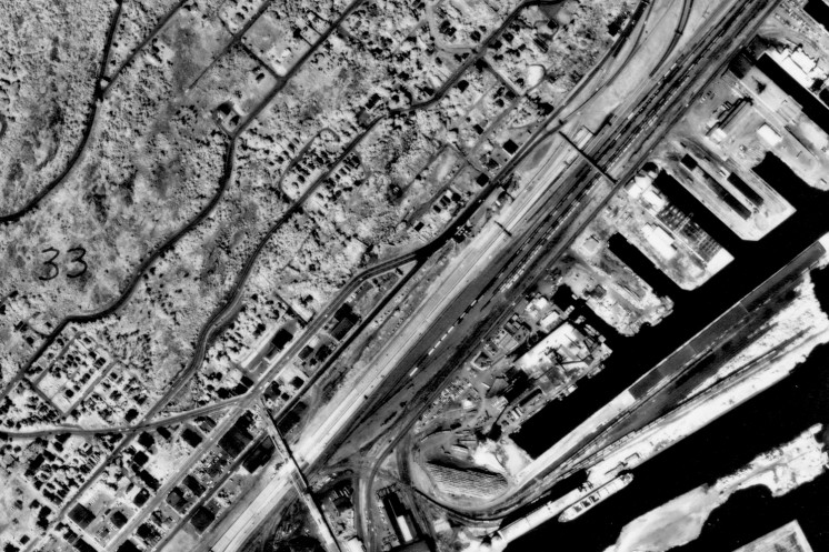
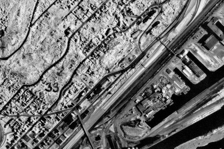
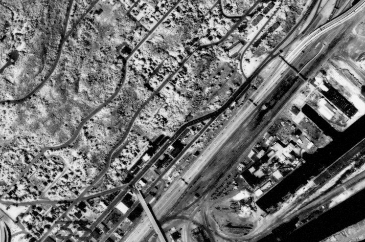
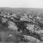
Across from the M&H gas station at Point of Rocks Park, there is a gap in the rocks, a ravine, for which in the past appeared to have many buildings around it. Was this the location of Duluth’s Little Italy? It seems like it may have been. The big question, however, is what is with the ravine there? It seems to be man made, and almost as if they were attempting to continue Superior Street, as it lines up near perfectly. The buildings slowly disappear over the decades, until they all seem to be gone by 1989. Was this ravine an attempt to continue Superior Street, or was there some other reason for it? It’s been fascinating me for some time. (I’ve included links to historical aerial photos of the area).

Point of Rocks 1939
1939

Point of Rocks 1961
1961

Point of Rocks 1972
1972

Point of Rocks 1981
1981

Point of Rocks 1989
1989

5 Comments

Paul Lundgren

about 10 years ago

Four years ago I posted a heap of information about Point of Rocks on PDD.

In the very early 1900s there were scattered shacks along Michigan Street at Point of Rocks, and by 1918 there was a lot of blasting going on in order to push Superior Street through there. The rock was too much for man and machine, however, and eventually they gave up.

I'm not sure if the area you are referring to was technically part of Little Italy. I think Little Italy was up the hill a bit from there.

DECk37

about 10 years ago

I remember seeing your post but not about the cut in the rocks. If the cut in the rocks goes back that far, some of those homes/buildings were on some precarious footings. 

It does seem like they were biting off more than they could chew.  The point of rocks is very fascinating, there's a lot of history there, and a lot of places have disappeared but there's some foundations left behind in some places still.

rev

about 10 years ago

I've wondered about this myself, having noticed the foundations and rock anchors when hiking through the area along that section of the SHT.  I've noticed quite a few homeless camps there the last few years in the Point of Rocks and Central Park area - does this use go back a while, or is it a newer development?

ponygrrrrrl

about 4 years ago

I cannot really tell by the pics you posted if your actually at the Glenn, but I grew up there along with my cousins and many extended family members. The picture I am posting was my grandmother's yard. Her house foundation can still be found right at the edge of the rocks. I was there just a few years ago. My son will be there this week to take even more pics.

Leave a Comment

Only registered members can post a comment , Login / Register Here